Tompson Street Reservation in Gloucester is one of Greenbelt’s largest and most popular properties, known for its rugged terrain and breathtaking scenery. Spanning more than 330 acres, the landscape features hardwood forests, granite outcroppings, vernal ponds, and a striking 120-foot boardwalk that traverses a vibrant red maple swamp.
With six different entry points, the property offers public access to an extensive trail network totaling more than 10 miles, ranging from gentle carriage paths to steep single-track inclines. Hikers who reach the summits of Sunset Mountain and Eagle Rock are rewarded with sweeping panoramic views of Gloucester Harbor and Ipswich Bay.
Comprehensive Trail Mapping
“Tompson Street has by far the most complex trail system of any of our properties,” says Dave McKinnon, Land and Trails Manager, who knows the landscape better than anyone. Over the past several years, he has walked and meticulously mapped every section of trail — from those actively maintained by Greenbelt to a “spaghetti network” of informal mountain biking and other trails that weave throughout the property.
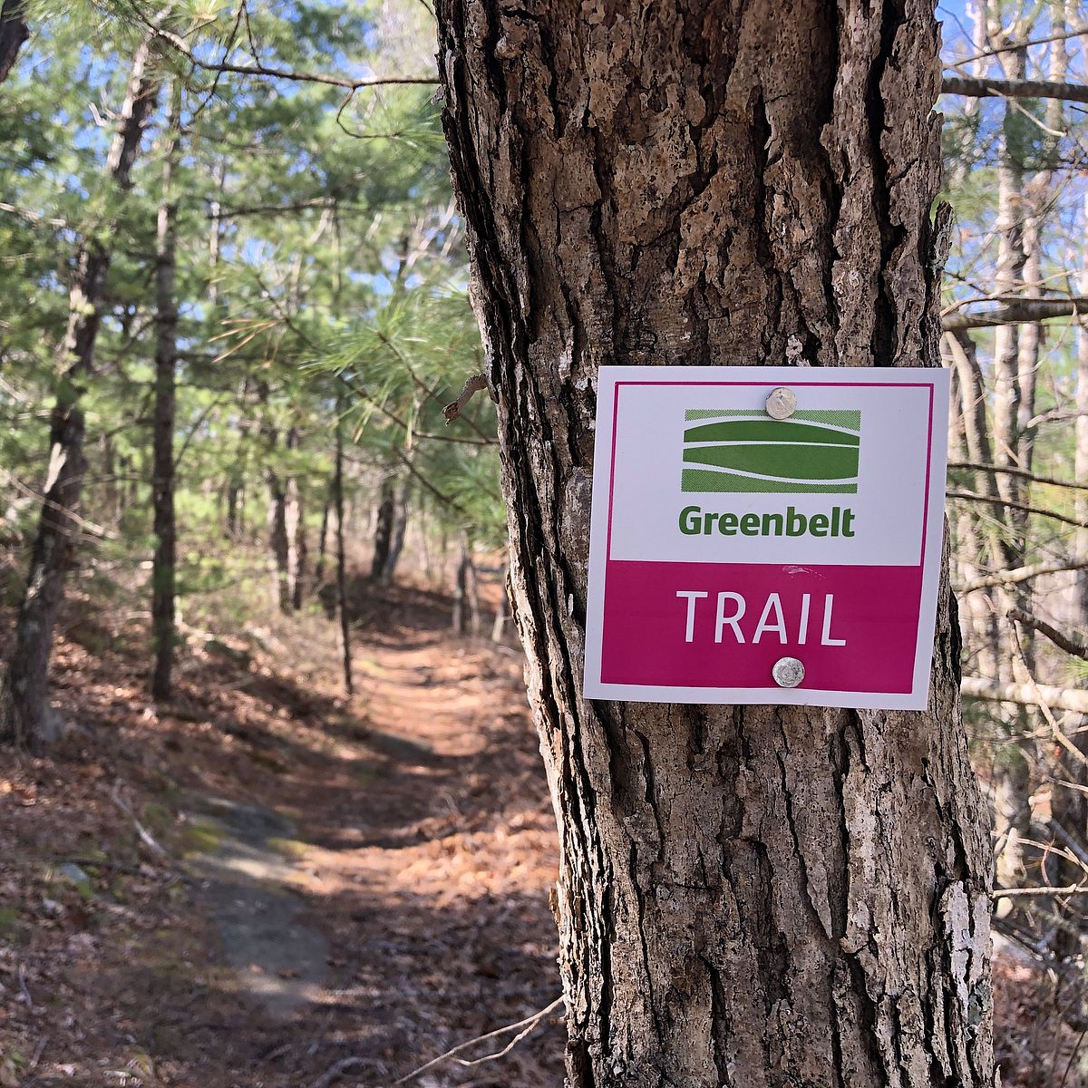
Drawing on this firsthand knowledge and detailed GPS data, Dave and Greenbelt’s Stewardship team have spent the past year refining the trail system at Tompson Street and improving wayfinding throughout the property. The three existing marked loops — blue, red, and orange — have been enhanced and, in some cases, extended. A new fourth loop, marked in pink and accessible via the Beaver Pond Trail entrance on Bray Street, measures 1.6 miles and was completed this past fall. These updates are now reflected in the GreenbeltGo trails app and will be incorporated into future kiosks at the main trailheads.
Improving Signage & Wayfinding
“We know Tompson Street has a reputation for being confusing, with visitors sometimes getting turned around in the expansive trail system,” Dave explains, noting that Tompson Street has long been a destination for adventurous off-road cyclists. “This project is focused on making it easier for people to navigate and fully enjoy the property by improving trail markers, signage, and the ongoing maintenance and condition of the trails themselves.”
He adds that the improvements will eventually include new trail intersection numbers, which will be integrated into GreenbeltGo, kiosks, and printed trail maps. In addition to new large trailhead kiosks, smaller “You Are Here” maps will also be installed at various points throughout the property.
Enhancing Property Infrastructure
Beyond wayfinding and enhanced upkeep, this initiative also includes addressing infrastructure challenges that affect trail conditions, such as erosion-prone sections and areas where water pools during seasonal flooding. These areas will be assessed and improved by the Stewardship team in partnership with an environmental engineer, with additional plans underway to enhance emergency access through the center of the property.
Ongoing Volunteer Support
Complementing these efforts, Greenbelt’s volunteer Stewardship Corps are helping maintain and improve the trail system throughout the reservation. The group has held a number of workdays at Tompson Street focused on clearing underbrush and cutting back encroaching vegetation, improving trail marker visibility, establishing protective buffers for sensitive habitats, and enhancing overall visitor safety.
We heard you! This article was inspired by feedback from our community survey last spring, where many expressed interest in learning more about trail management and other related topics.